Henrik Frank · 31 October 2026
Community Photo Initiatives Reveal Urban Evolution Patterns in Major Cities
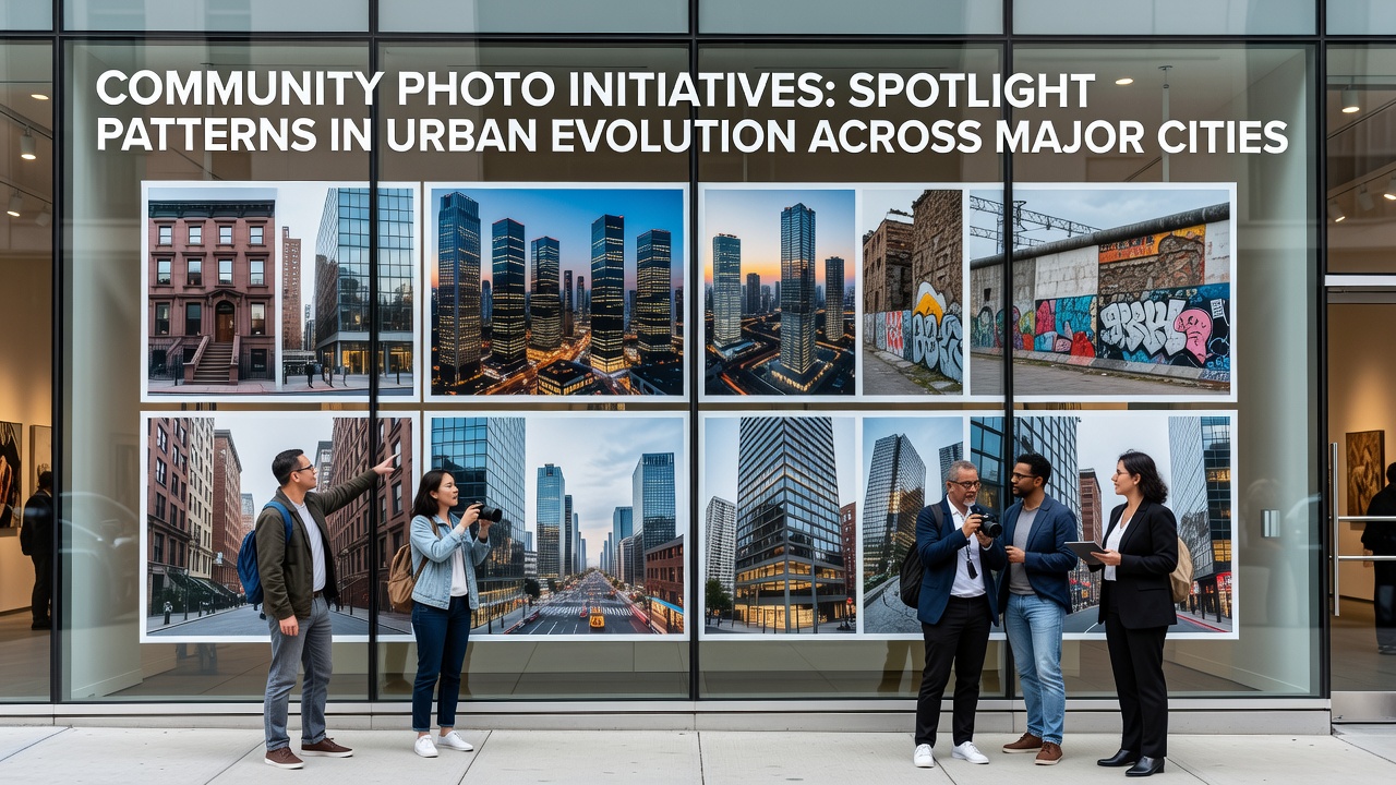
Community photo initiatives have gained traction as residents in cities from New York to Tokyo document transformations in their neighborhoods through collaborative projects that capture infrastructure developments, housing shifts, and green space alterations over time, and these efforts produce visual records that researchers cross-reference with official planning data to identify broader trends in how urban areas expand and adapt.
Projects like these often operate through local workshops where participants receive training on consistent framing techniques and metadata tagging, which allows collected images to form time-series datasets that span multiple years and reveal incremental changes such as the conversion of industrial zones into mixed-use developments or the expansion of public transit corridors into previously residential blocks.
Methods Behind Coordinated Urban Documentation Efforts
Participants in these initiatives typically follow standardized protocols developed in partnership with academic institutions and municipal archives, and one approach involves monthly photo walks along fixed routes where volunteers record the same intersections from identical vantage points to track modifications in building facades, sidewalk usage, and vegetation coverage, while another method incorporates drone-assisted captures in permitted zones to supplement ground-level views with overhead perspectives that highlight density increases and land-use reallocations.
Data from such collections feeds into mapping platforms maintained by city governments, and analysts at organizations including the European Environment Agency integrate these visuals with satellite imagery to quantify rates of impervious surface growth in European capitals, whereas similar efforts in North American contexts draw on resident submissions to inform zoning reviews conducted by bodies like those in Canadian provincial planning departments.
Observed Patterns Across Diverse Metropolitan Regions
Visual archives compiled through community efforts show recurring sequences where early signs of redevelopment appear as temporary fencing around vacant lots, followed by equipment staging and eventual completion of high-rise structures that alter skyline profiles within two to three years, and observers note that these sequences align with census figures indicating population influxes in districts previously marked by declining commercial activity.
In Asian megacities, comparable initiatives have documented the integration of elevated rail lines through older districts, with before-and-after sequences illustrating how street markets adapt by relocating to adjacent underpasses or incorporating pop-up stalls beneath new viaducts, and researchers at universities in Australia have cross-referenced these image sets with transport authority reports to measure shifts in pedestrian flow patterns around newly installed stations.
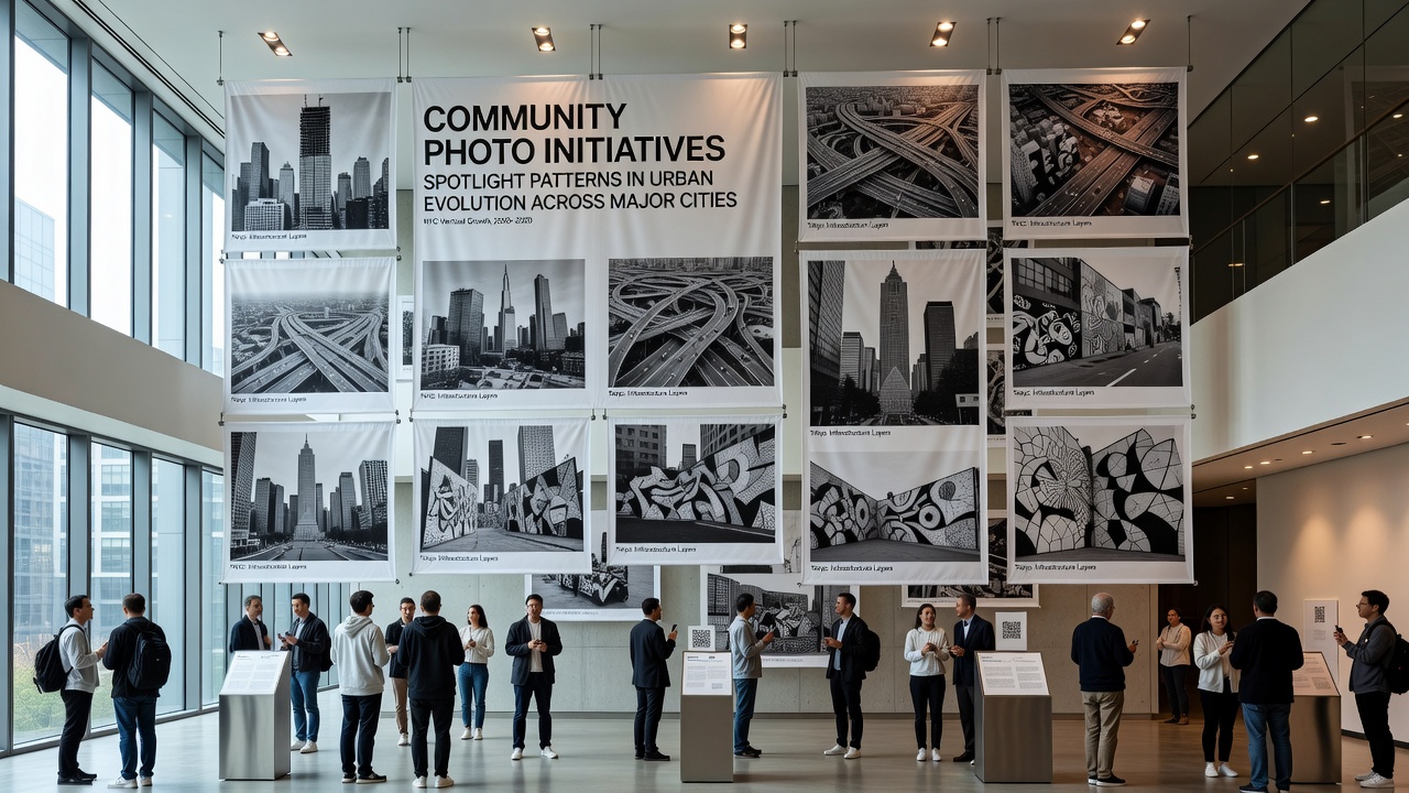
Green infrastructure additions emerge as another consistent theme, with photo series capturing the installation of bioswales along roadways and rooftop gardens on public buildings, and these records help planners assess maintenance challenges such as seasonal flooding impacts on newly planted areas or the rate at which community gardens expand into adjacent vacant parcels.
Integration with Policy and Planning Frameworks
Municipal authorities increasingly reference community-generated photo collections when updating comprehensive plans, and in October 2026 several North American cities are scheduled to release updated zoning maps that incorporate annotated image timelines submitted by resident groups during public comment periods, while European counterparts prepare parallel reviews tied to the EU's urban sustainability targets that emphasize visual evidence of progress toward reduced carbon footprints through localized greening projects.
Training programs associated with these initiatives emphasize ethical considerations around privacy when photographing private properties, and guidelines developed by international research networks stress the importance of obtaining consent and anonymizing identifiable features in public datasets, which supports broader adoption by ensuring that compiled archives meet standards for use in peer-reviewed studies on urban morphology.
Conclusion
Community photo initiatives continue to expand their reach through digital platforms that facilitate cross-city comparisons, and the resulting datasets provide granular insights into urban evolution that complement traditional statistical sources while highlighting localized variations in how infrastructure investments reshape daily environments across global metropolitan areas.